For my major weather event, I chose Hurricane Andrew. Hurricane Andrew made history in 1992 as one of the worst hurricanes ever when it hit both Florida and Louisiana on separate landfalls. It first began off the west coast of Africa on August 16, 1992, where it was relatively inconsequential. It upgraded to a tropical storm on August 17 and continued its way westward. On August 22, it was upgraded to a hurricane, due to a high pressure system that had developed over the southeastern United States. By the next day, the 23rd, it had been classified as a Category 4 hurricane. (NASA has reported it as Category 5). On the 24th, it hit Dade County, Florida. Throughout its course to Florida, Andrew weakened for a period of time. However, it returned stronger than before to devastate southeast Florida. Once its time in Florida was over, Andrew moved back into the Gulf of Mexico, where it eventually hit Louisiana as a Category 3 on August 26. Throughout its time, the highest wind speeds recorded were 169 mph, but some private residences recorded winds up to 177 mph. These winds were so strong that they destroyed instruments used to detect wind speed. In total, Andrew caused about $26.5 billion dollars in damage to the southern United States and directly caused 23 deaths (and an extra 38 indirectly). In all of history, only Hurricane Katrina in 2005 caused more damage.
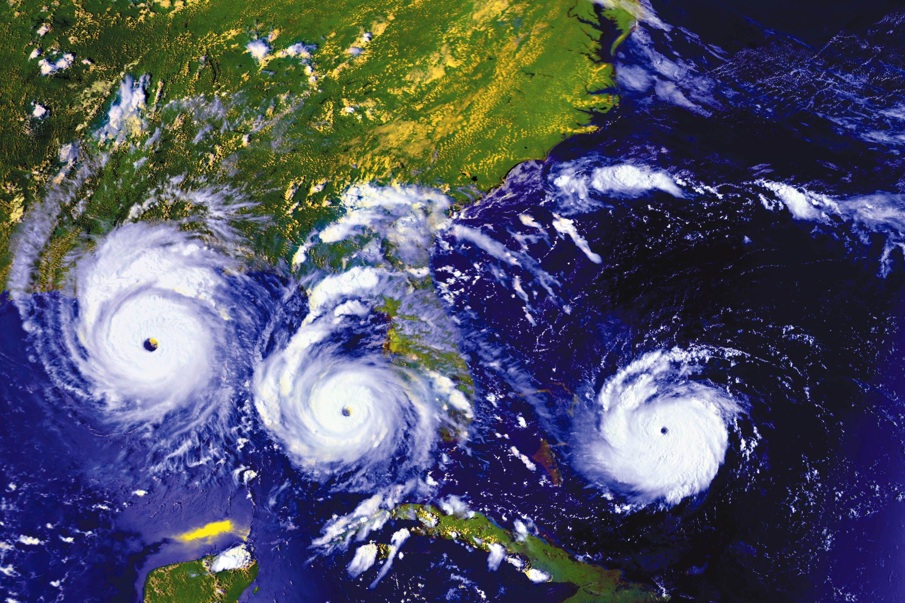
Below is a satellite image taken from the National Oceanic and Atmospheric Association:

This image from NASA's Earth Observatory shows Andrew's path between August 23-25.
 Sources
National Oceanic and Atmospheric Association: http://www.ncdc.noaa.gov/oa/satellite/satelliteseye/hurricanes/andrew92/andrew.html
NASA Earth Observatory: http://earthobservatory.nasa.gov/IOTD/view.php?id=78948